|
Historical Maps |
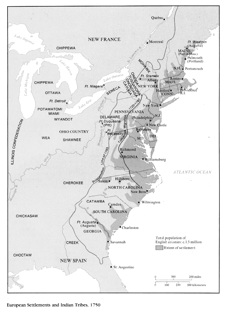
European Settlements and Indian Tribes - 1750 |
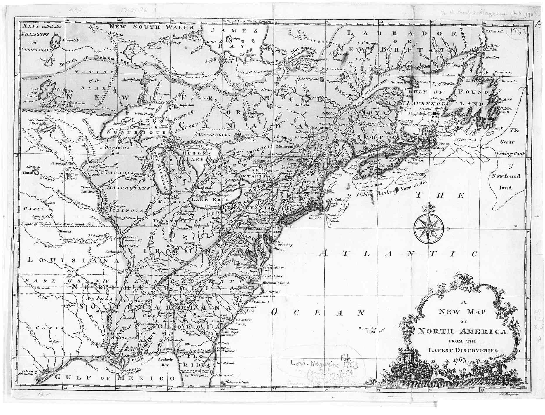
1763 - Map of North America |
|
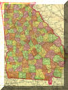
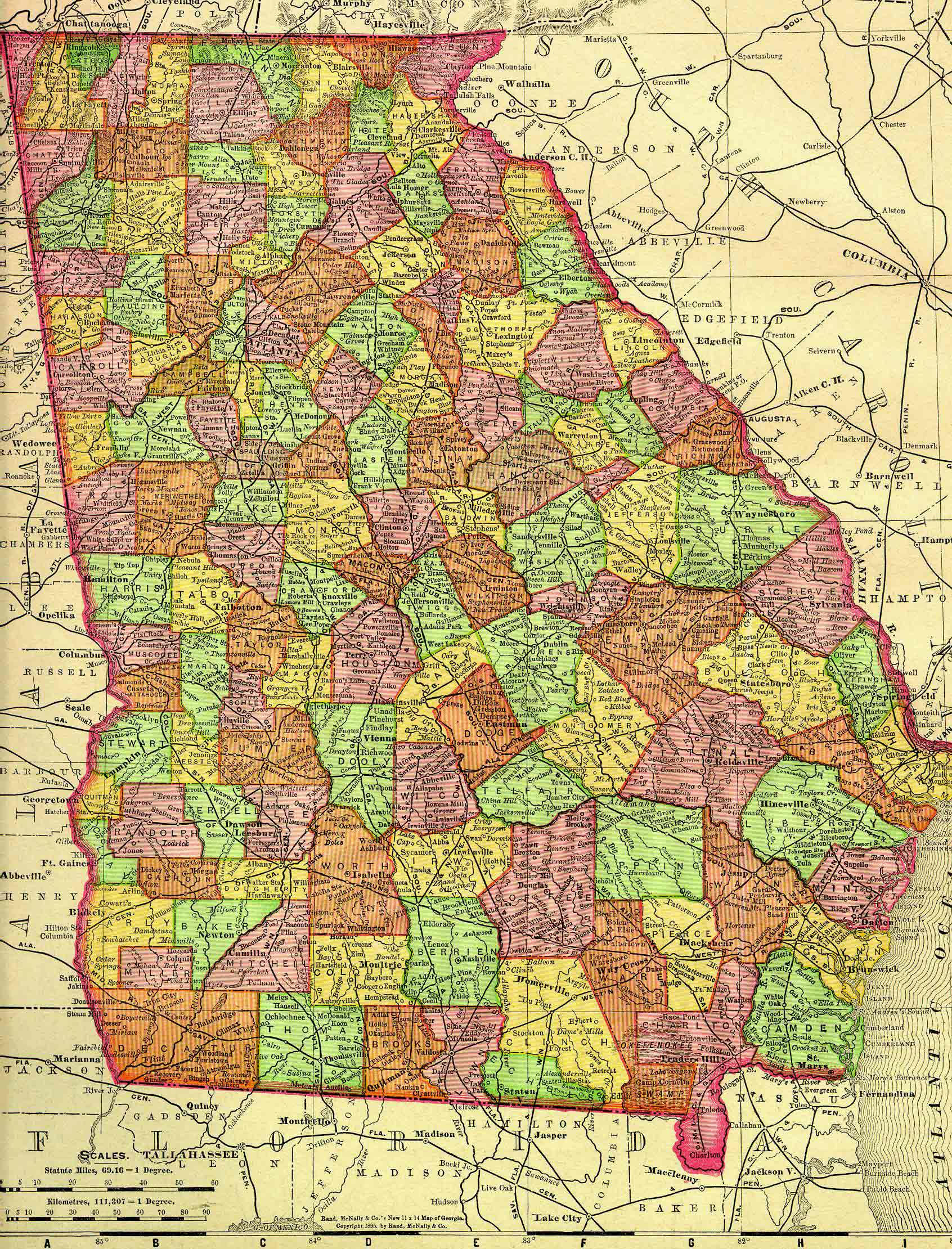
1895 U.S. Atlas Map of Georgia.
Click on thumbnail to see larger image. This image is large and will
probably take some time to open. |
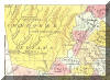
1895 U.S. Atlas
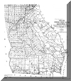
Map of Gordon County.
Click on thumbnail to see larger image. |
|
1895 U.S. Atlas Map of Georgia.
Click on thumbnail to see larger image. This image is large and will
probably take some time to open. |
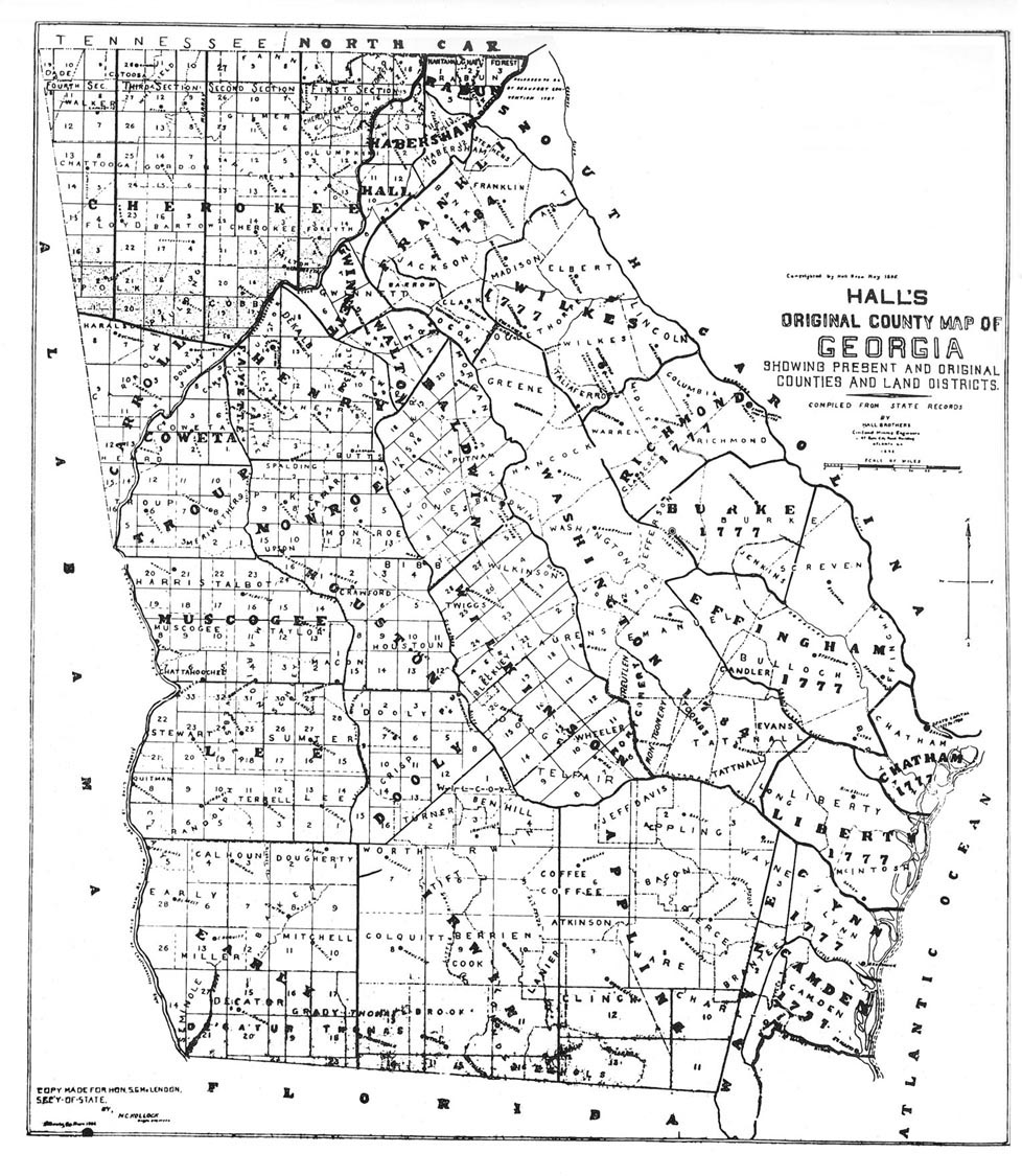
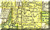
1895 - Northwest
Georgia
redrafted from
Hall's Original County Map
[map redrafted
and provided by Ed Gordon] |
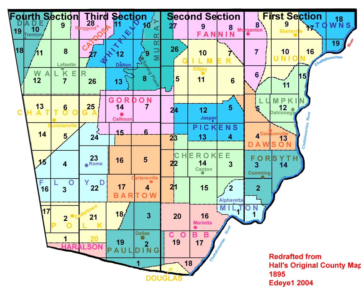
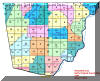
 Gordon County's original boundaries
 |
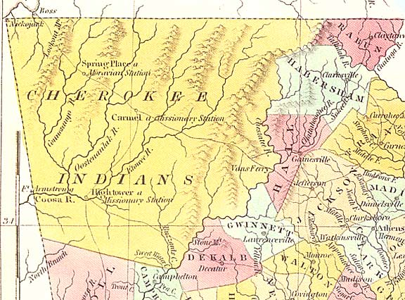
1830 Map of the
Cherokee Nation |
|
|
|
|
|
My County
Maps and
Gordon County |
|
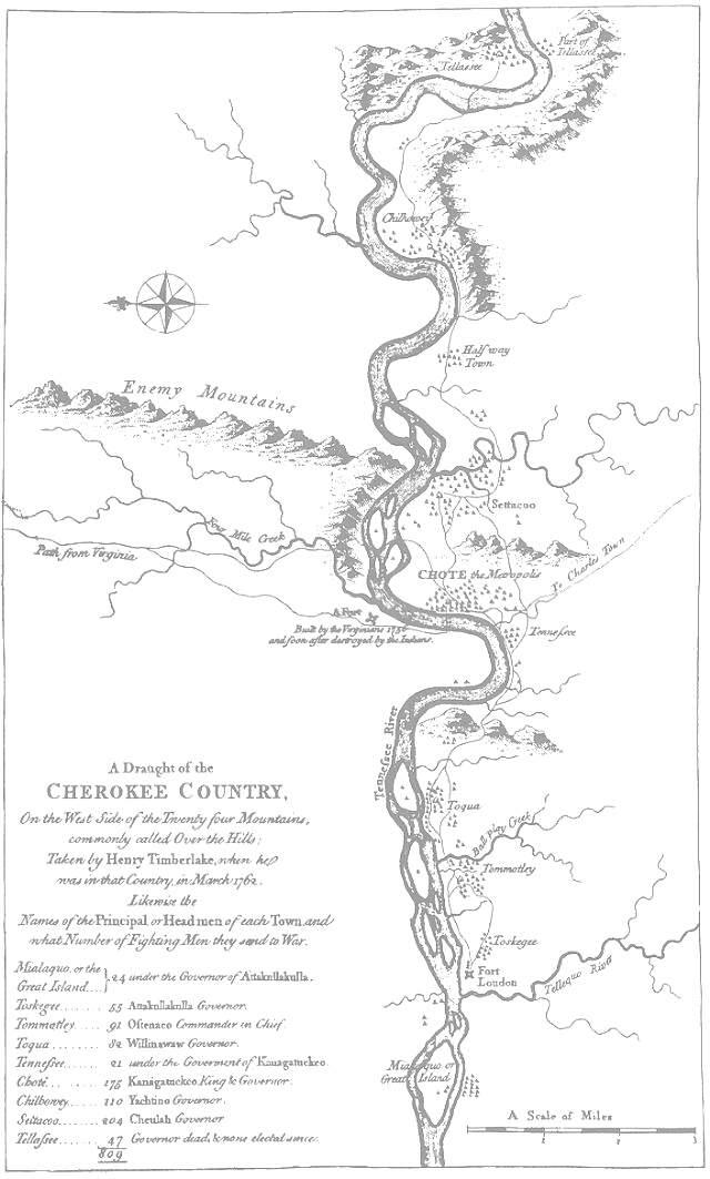
The Cherokee
Nation in the mid-1700s |
|
|
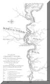
Map to New Echota |
Map to Resaca Confederate Cemetery |