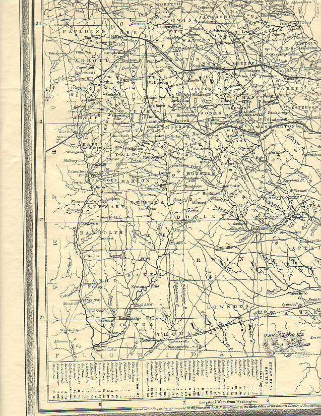
1846 Map of Ferries and Roads
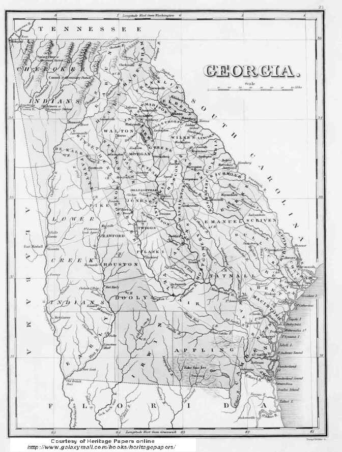
Georgia 1829
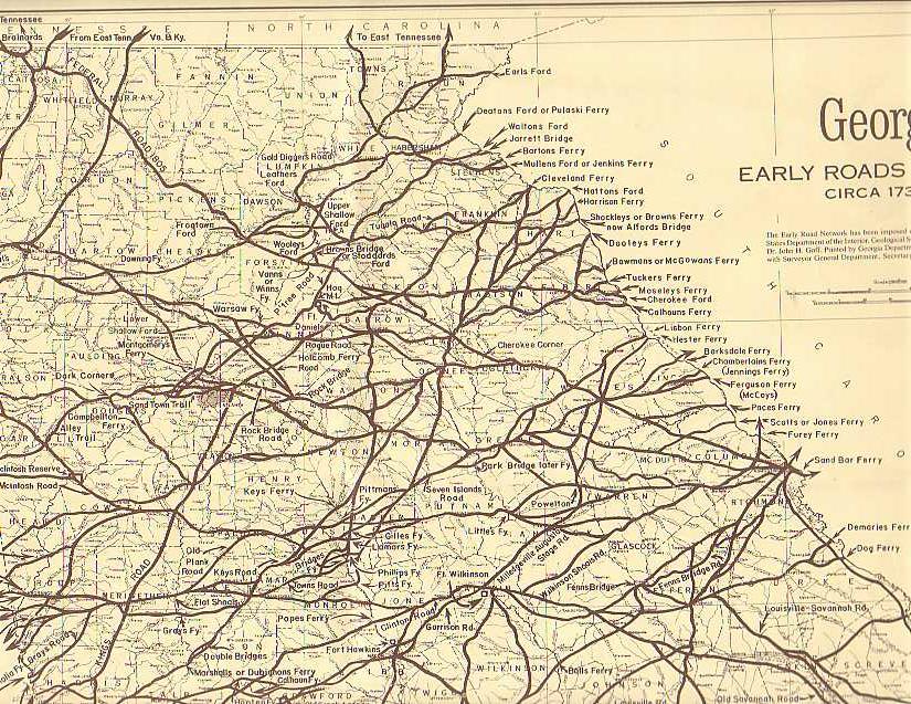
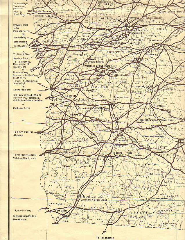
Ferrys
173? Map of Ferries and Roads
1846 Roads
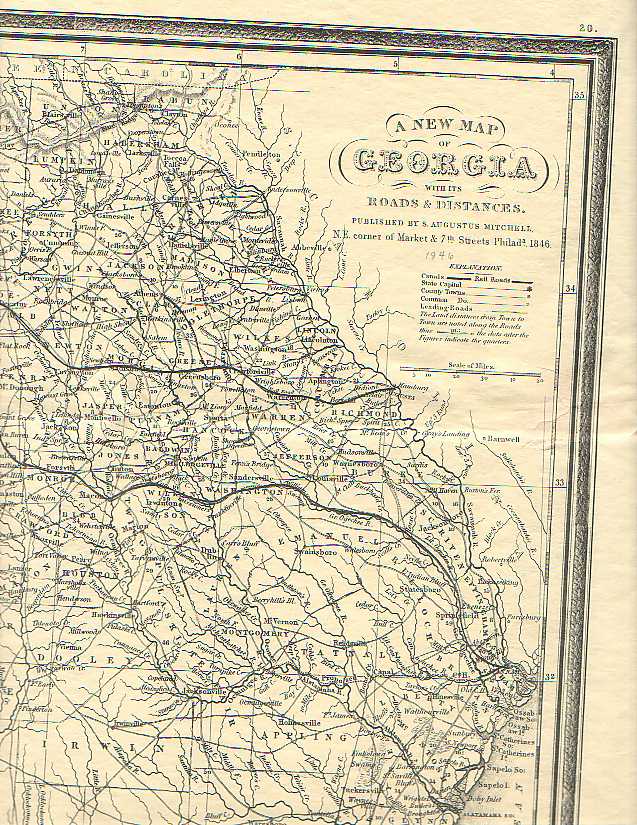
Roads and town circa 1846
The roads indicate the population centers at this time period.
Note: Thanks to Lisa Graham for these maps.